2025
-
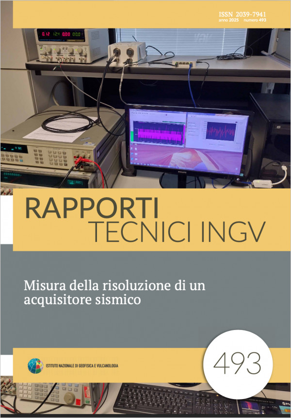 Misura della risoluzione di un acquisitore sismicoV. 493 (2025)La risoluzione di un acquisitore sismico è un parametro di grande interesse nella sismologia sperimentale, perché incide sulla qualità dei dati registrati e dipende direttamente dalla componentistica utilizzata nello strumento, in particolare gli ADC. Nel presente lavoro è stato progettato e allestito un banco di misura basato su strumentazione ad elevate prestazioni, al fine di misurare con grande accuratezza questo importante parametro, in accordo con la normativa vigente sulla determinazione dell’incertezza di misura. Il banco di misura si è rivelato utile sia per verificare i valori di risoluzione dichiarati dal costruttore del digitalizzatore nel datasheet, sia per confrontare i diversi acquisitori in commercio. Un’altra interessante applicazione è la verifica della linearità nella risposta dei convertitori a segnali applicati nei diversi input range settati. A causa delle caratteristiche tecniche degli strumenti di misura utilizzati, per la comunicazione con il PC è stato impiegato un bus specifico di tipo parallelo a 8 bit denominato GPIB (General Purpose Interface Bus), che ancora oggi rappresenta un’ottima soluzione nonché uno standard (IEEE488) per applicazioni in ambito Test & Measurement. Il software applicativo per controllare la suddetta strumentazione è stato realizzato in codice G (LabVIEW). L’acquisitore sismico testato in questo lavoro è stato il Nanometrics Centaur CTR46S e tutte le misure di risoluzione ricavate sono risultate in perfetto accordo con i valori forniti dal produttore.
 -
 INGV EIDA-ITALIAN-NODE Data Management PlanV. 492 (2025)This document outlines the comprehensive framework for managing seismic data at the INGVEIDANODE, adhering to the INGV (Istituto Nazionale di Geofisica e Vulcanologia) Data Policy and incorporating international standards and guidelines to support FAIR data principles. As the Italian node of the European Integrated Data Archive (EIDA), managed under the EPOS ERIC (European Plate Observing System) framework by ORFEUS (Observatories & Research Facilities for European Seismology), INGV collects and archives seismic data from networks across Italy and the Mediterranean region. The document details the entire data lifecycle, from acquisition and curation to longterm preservation and dissemination, highlighting processes such as policy enforcement, quality control, metadata generation, and the assignment of persistent identifiers. It also emphasizes preservation strategies, including archiving and remote replication, and data sharing via web services and computational archives. By integrating robust management policies and resources, this framework ensures the effective handling, accessibility, and reuse of seismic data.
 -
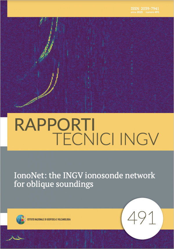 IonoNet is an INGV multistatic cooperative radar network of Pseudo Random Code (PRC) ionosondes for oblique ionosphere soundings placed in different points of the national territory; in this way it will be possible to compare the ionosphere characteristics relating to points separated by approximately a few hundreds of km. The project has been funded within the “Piano Nazionale di Ripresa e Resilienza” PNRR of INGV “Meet” inside the activity 9.5 “Design, realization and testing of ionosondes for oblique and vertical sounding, complete with data communication and remote access systems. Realization of the necessary software for the acquisition, pre-elaboration and automatic scaling of ionograms. Database of oblique and vertical ionograms, real-time electron density profiles and radio propagation parameters. Alert for disturbed ionospheric conditions.” The project activities concern the design and construction of ionosondes for oblique and vertical soundings. The instruments will be comprehensive of systems for communication and analysis of the acquired data with the transformation of the oblique ionograms into vertical ones, for a better comparison with the observatories ionograms. The “autoscala” software will be used for the realtime generation of the electron density profiles and the calculation of all propagation parameters; based on the output of “autoscala”, ionospheric alerts will be generated, for civil and military uses, in case of disturbed conditions. The oblique PRC ionosondes are constituted by two parts, a transmitting and a receiving ionosonde located in different places. The PRC ionosondes have been built using Software Defined Radio (SDR) devices that act as transmitter or receiver of the Radio Frequency (RF) signals. They generate all the signals necessary for the operation of the ionosondes such as the GPS signals acquisition used for time synchronization, the triggering of the RF power amplifier for long distance sounding, and the antennas switches. The SDR device is able to convert into an RF signal a pseudo random numerical sequence generated by a Personal Computer (PC) or receive and convert the RF antenna signals into a pseudo random numerical sequence on the PC; this is accomplished by means of a high speed Ethernet port (1Gb per seconds), used also to transmit the SDR data and configuration parameters. There is a wide choice of SDR configurations and a great versatility for these devices; with the possibility of changing frequencies and amplitude of transmitted waveform or applying filters in different bands. The receiving PRC ionosonde, placed at one of the ionospheric observatory, allows receiving and detecting at the same time the pseudo random coded signal transmitted contemporarily from different ionosondes, multiplying the observation possibilities of the ionosphere from different directions. It is possible to use the code with different random seed (used as station identifier parameter) at the transmitting ionosondes and using a precise time synchronization between transmitting and receiving ionosondes; the high precision is obtained using a GPS Disciplined Oscillator (GPSDO). The surveys will allow to map the ionosphere over large regions for the verification of theoretical models of the global ionosphere and local disturbed ionospheric conditions, and to investigate possible ionosphere lithosphere coupling phenomena.
 -
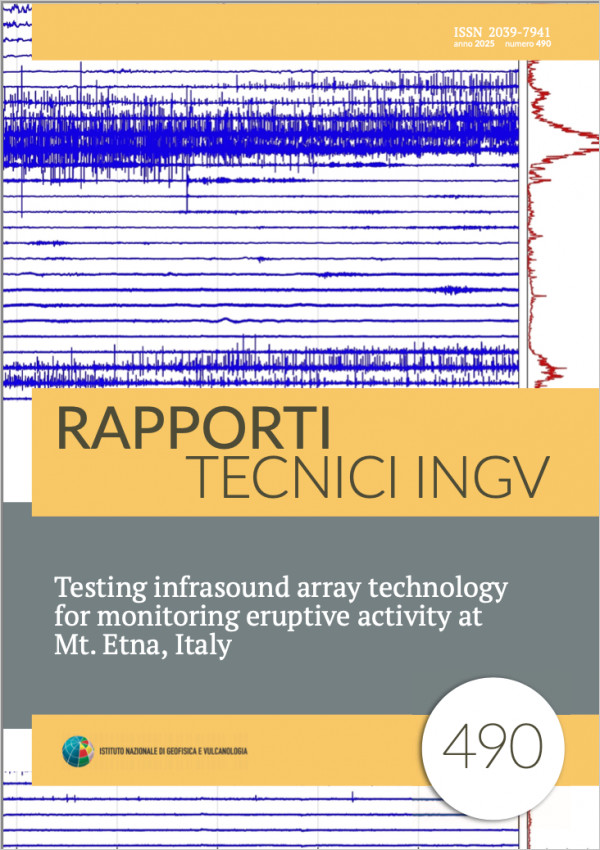 Testing infrasound array technology for monitoring eruptive activity at Mt. Etna, ItalyV. 490 (2025)Several studies have highlighted that infrasound is a powerful tool for volcano monitoring and holds promise to improve our understanding of volcano unrest and eruptive processes. As such, infrasound sensors are routinely deployed at active volcanoes, typically colocated with seismometer networks. Recent studies have demonstrated the value of deploying infrasound sensors in array configuration (clusters of few sensors at interstation of up a few tens of meters) at distances up to a few kilometers from active volcanic vents. Arrays provide a powerful tool for realtime detection and tracking the time evolution of eruptive activity, and can deliver real time estimates of eruption intensity. Here, we report the results of extensive testing of a 6element infrasound array at Mt. Etna, Italy. The key objectives of the deployment were to assess the suitability of the chosen array location and configuration for future operational use at Mt. Etna, and evaluate its ability to provide a realtime assessment of eruption occurrence, location and intensity. The array was deployed between May 2021 and April 2022, during a period of intense activity and continuous eruption, characterized by frequent occurrence of paroxysmal activity. The array was deployed near to a permanent seismic station (EMNC) operated by the Istituto Nazionale di Geofisica e Vulcanologia (INGV) at the site Monte Conca, approximately 6 km from the SouthEast crater, the most active during the study period. The installation was optimized for maintenancefree deployment, throughout the snowy winter season, including a custommade instrument housing and a dedicated solar power system. All data collected were processed with a slowness inversion algorithm; the results of these analyses demonstrated the ability of the array to detect the onset of eruptive activity and track its evolution, and to discriminate multiple active vents within the summit area at Mt. Etna. We conclude that the Monte Conca site is suitable for future deployment of a realtime, permanent, infrasound array, and the proposed configuration delivers satisfactory performances in terms of location uncertainty. This temporary deployment was supported by a collaboration between INGV Sezione di Pisa (PI) and Osservatorio Etneo (OE), and the University of Liverpool (UK).
 -
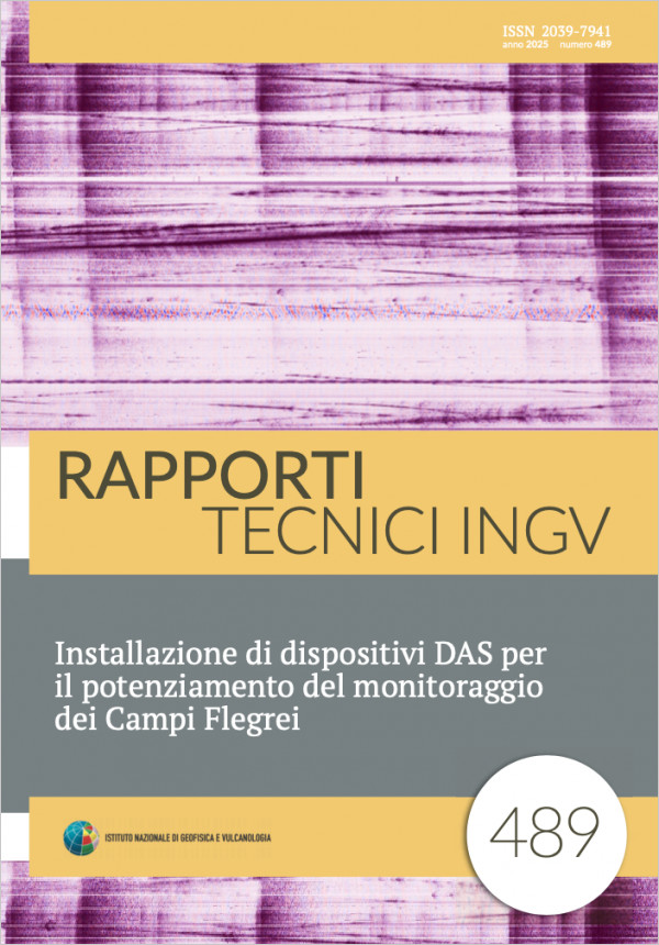 Installazione di dispositivi DAS per il potenziamento del monitoraggio dei Campi FlegreiV. 489 (2025)Misure distribuite di strain su fibre ottiche hanno dimostrato la loro efficacia per la registrazione e la localizzazione di terremoti, soprattutto su reti esistenti in fibra ottica usate per le telecomunicazioni. In aree urbane, dove l’impiego di sismometri convenzionali è particolarmente impegnativo, sia per la ricerca di siti adeguati e sia per le condizioni di elevato rumore antropico, l’uso di questa metodologia di misura è particolarmente interessante per trasformare rapidamente le dense reti di telecomunicazioni in fibra ottica in array di sensori. In questo lavoro sono descritte le attività di installazione dei dispositivi, dell’acquisizione dei dati e dell’analisi dei segnali nell’area vulcanica napoletana di Napoli e Campi Flegrei, Italia. Per contribuire al potenziamento del monitoraggio della nuova crisi (aumento dell’attività sismica e della deformazione) osservata dal 2005, sono stati interrogati due cavi in fibra ottica per telecomunicazioni che attraversavano l’area sismica attiva dei Campi Flegrei utilizzando due interrogatori DAS (Distributed Acoustic Sensing) per 4 mesi (ottobre 2023 febbraio 2024). È stato collegato un interrogatore A1 (Febus) a Bagnoli Centrale Telecom ad un cavo ottico per le telecomunicazioni di ~20 km che attraversa la caldera dei Campi Flegrei e un interrogatore iDAS (Silixa) a Napoli Centrale ad un cavo lungo ~430 km in parte via terra da Napoli fino alla zona costiera (~23 km) ed in ambiente sottomarino verso Salerno e il Sud Italia. È stato progettato un protocollo per scaricare automaticamente i file corrispondenti agli orari dei terremoti registrati nel catalogo dell’INGVOV per l’analisi dei dati DAS. Grazie alla fitta copertura spaziale delle registrazioni, si è osservato che le misure distribuite di strain sulle fibre interrogate sono idonee a rilevare gli eventi sismici con una buona prestazione, rilevando 537 eventi sui 567 riportati nel catalogo dell’INGV. Inoltre, durante gli sciami sismici sui dati DAS è stato possibile osservare il rapido susseguirsi di un numero maggiore di eventi che sono difficili da individuare singolarmente sulle tracce sismiche. Il protocollo implementato è il primo passo verso l’utilizzo di misure distribuite di strain su fibre ottiche per il monitoraggio in tempo reale di aree sismiche attive e per il suo potenziamento durante crisi sismiche.