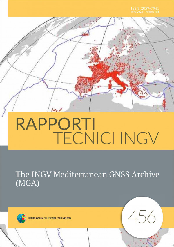
The Global Navigation Satellite System (GNSS) represents a primary data source in Solid Earth Sciences. In order to investigate the Earth’s crustal deformation, time series of the estimated daily positions of the stations are routinely analyzed at the Istituto Nazionale di Geofisica e Vulcanologia (INGV) to investigate the deformation of the Earth’s surface caused by tectonic and nontectonic processes. The GNSS observations of the stations are processed using the three main scientific software: GAMIT/GLOBK, BERNESE, and GIPSY OASIS II. The accuracy and the strength of geodetic solutions...
Pubblicato: 09-11-2022

